Find the Eddies.
Know the Weather.
Catch the Fish.
EddyCast combines AI eddy tracking with live weather conditions. Get a Fishing Score for every eddy, GO/CAUTION/AVOID weather ratings, SST maps, target species, and tactical guidance — all for a fraction of traditional report costs.
Buy Now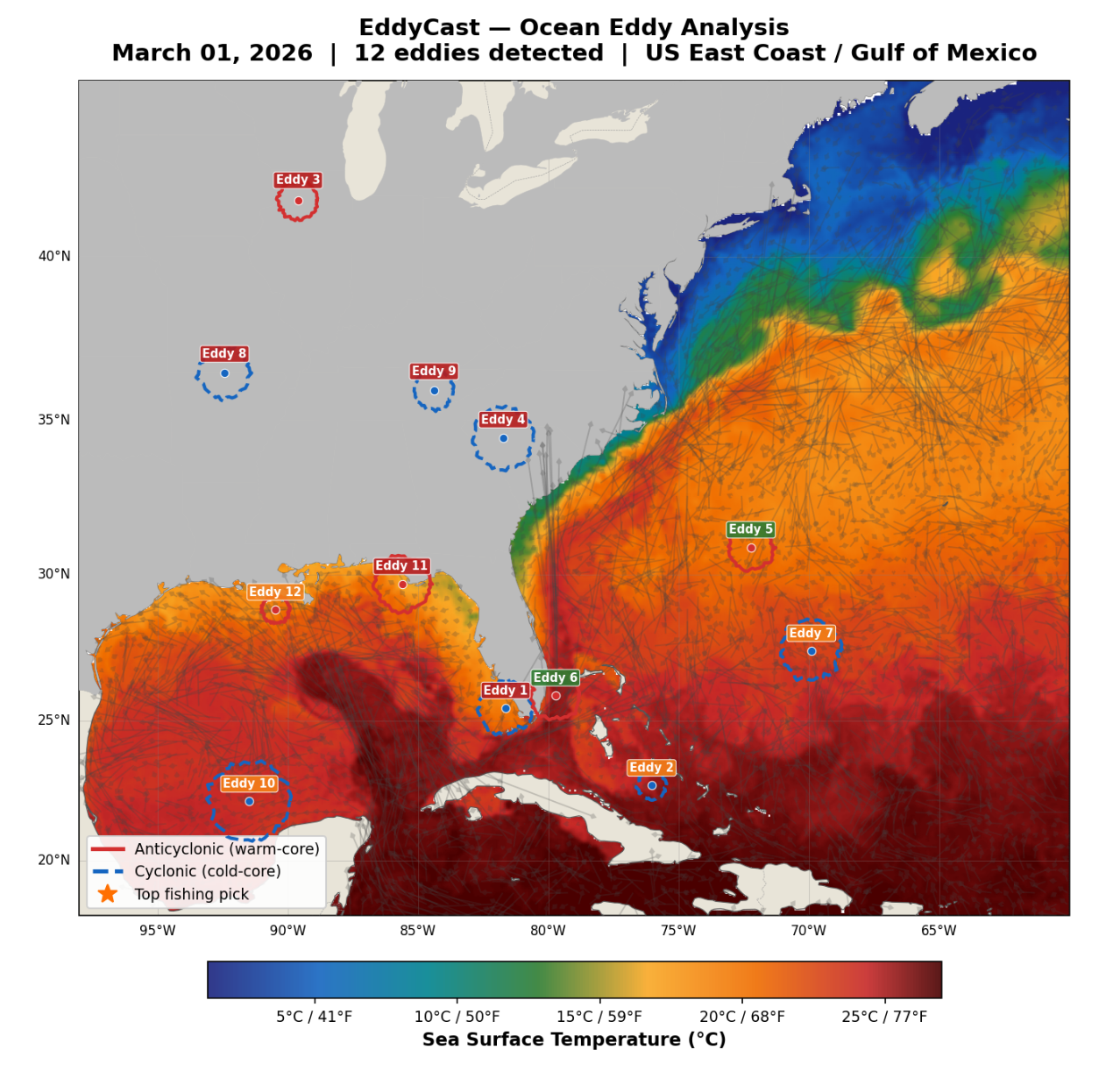
Why Anglers Miss the Best Fishing
Finding productive offshore water requires more than luck. Most anglers lack the tools to track eddies and weather together.
Eddies Move Daily
Ocean eddies shift position constantly. Yesterday's hotspot may be miles away today.
Weather Changes Everything
Finding an eddy is only half the battle. Wind, waves, and current determine if it's actually fishable.
ROFFS Costs $64/Report
Traditional eddy services charge premium prices for a single static snapshot that's outdated within hours.
Raw SST Charts Are Confusing
Free satellite imagery requires expert interpretation. Most anglers can't distinguish a productive eddy from noise.
How EddyCast Works
From satellite data to fishable forecast in three steps.
Pick Your Region
Choose from Gulf of Mexico, Gulf Stream, Mid-Atlantic, Northeast, or Pacific. Each region is monitored daily with a regional overview and Top Pick eddy highlight.
AI Scores Every Eddy
Our algorithms analyze satellite altimetry and SST data to locate productive eddies and assign each a Fishing Score out of 100 — plus thermal break, radius, rotation speed, and core temperature details.
Get Your Forecast
Each eddy gets a GO/CAUTION/AVOID weather rating from real-time weather data, target species, "Where to Fish" guidance, tactics, and a Best Day recommendation with 48-hour weather windows.
What's Inside Every EddyCast
Every forecast is packed with actionable intelligence — not just raw data.
Fishing Score /100
Every eddy gets a Fishing Score out of 100 based on thermal break strength, rotation, size, and historical productivity. Instantly compare which eddies are most likely to hold fish.
GO / CAUTION / AVOID Ratings
Each eddy gets a weather safety rating powered by real-time weather data — the same GO/CAUTION/AVOID system used by SeaLegsAI. Know which eddies are fishable before you leave the dock.
SST Maps & Thermal Gradients
Visual sea surface temperature maps show thermal gradient boundaries where bait concentrates. No more squinting at raw satellite imagery — eddies are clearly identified and labeled.
Per-Eddy Detail
Dive into each eddy: location coordinates, thermal break in degrees, radius in km, rotation speed in knots, and core temperature. All the data you need to make your run plan.
Where to Fish & Tactics
Each forecast includes specific guidance on where to position around the eddy and what tactics to use. Target species are listed per eddy based on region and season.
Best Day Recommendation
Don't just know where — know when. Each forecast highlights the best day to fish within the 48-hour weather window, so you can plan your trip around the optimal conditions.
Simple, Transparent Pricing
Professional eddy intelligence at a fraction of what you're paying now.
One region, one forecast. Perfect for occasional offshore trips.
- Fishing Score per eddy
- GO/CAUTION/AVOID weather rating
- SST map with thermal gradients
- Target species & tactics
Unlimited forecasts across all regions. Best for active offshore anglers.
- Everything in Single
- All 9 regions unlimited
- Best Day recommendations
- Priority processing
Best value for tournament anglers and charter captains.
- Everything in Monthly
- Save $250.88/year
- Season planning tools
- Early access to new regions
Built For Serious Offshore Anglers
Tournament Anglers
Win tournaments with an edge. Know exactly which eddies hold bait and game fish before your competitors do.
Charter Captains
Put your clients on fish consistently. EddyCast helps you plan trips around productive eddies with safe weather windows.
Recreational Offshore
Stop wasting fuel running to last week's coordinates. Real-time eddy tracking means you fish where the action is today.
Commercial Fishing
Optimize fuel costs and catch rates by targeting verified productive eddies with favorable conditions.
Regional Coverage
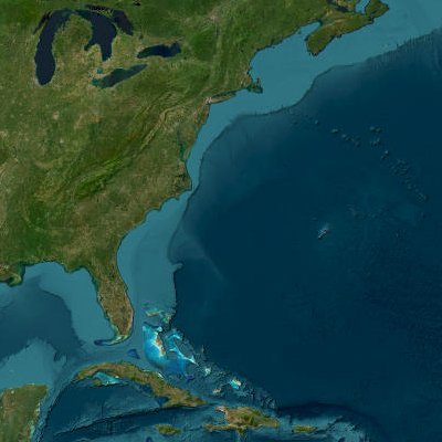
US East Coast
Gulf Stream warm-core rings for tuna, marlin, and mahi-mahi.
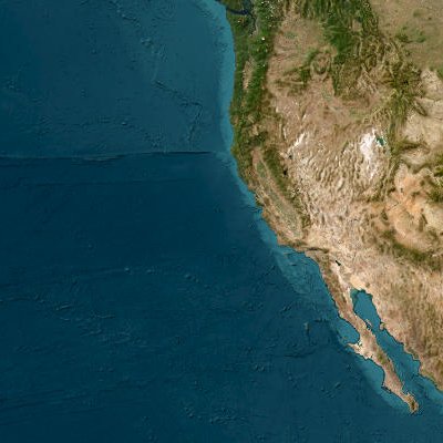
US West Coast
California Current eddies for albacore, yellowfin, and dorado.
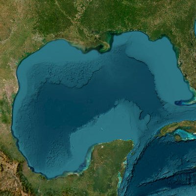
Gulf of Mexico
Loop Current eddies for bluefin tuna, yellowfin, and wahoo.
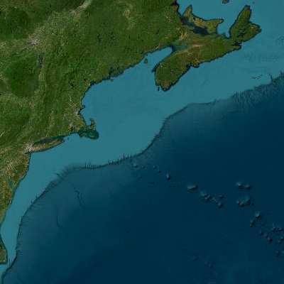
Northeast US
Georges Bank warm-core rings for giant bluefin and bigeye tuna.
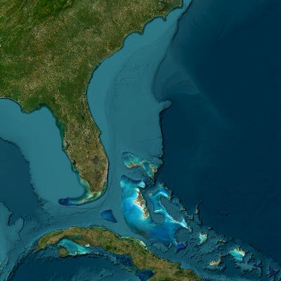
Southeast US
Gulf Stream eddies for sailfish, mahi-mahi, and tuna.
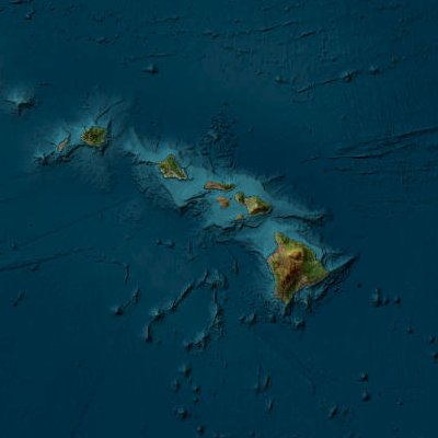
Hawaii
Island wake eddies for yellowfin, bigeye, and Pacific blue marlin.
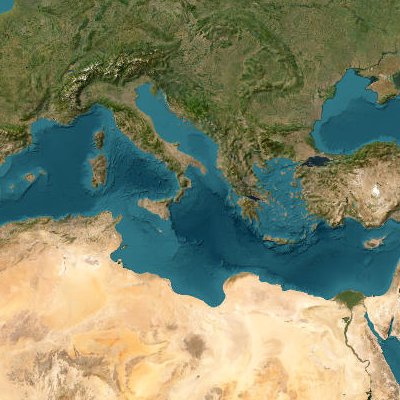
Mediterranean
Algerian Current eddies for Atlantic bluefin tuna.
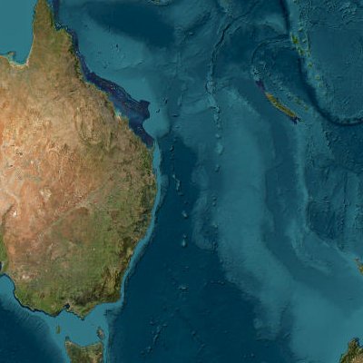
Eastern Australia
East Australian Current eddies for marlin, yellowfin, and southern bluefin.
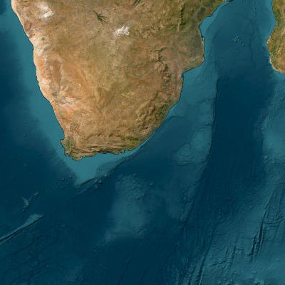
South Africa
Agulhas Current eddies for yellowfin tuna, marlin, and swordfish.
Frequently Asked Questions
What is an ocean eddy and why does it matter for fishing?
Ocean eddies are large rotating bodies of water that break off from major currents like the Gulf Stream or Loop Current. Warm-core eddies trap warm, nutrient-rich water that attracts baitfish, which in turn draws game fish like tuna, marlin, mahi-mahi, and swordfish. Tracking eddies is one of the most effective ways to locate productive offshore fishing grounds.
How is EddyCast different from ROFFS?
EddyCast provides daily updates with a Fishing Score per eddy, GO/CAUTION/AVOID weather ratings, SST maps, target species, and tactical fishing guidance — while ROFFS delivers static email-based reports. EddyCast costs $14.99 per forecast compared to ROFFS at $64 per report. EddyCast also gives you a Best Day recommendation so you know exactly when and where to fish.
What data does EddyCast use?
EddyCast combines satellite altimetry data to detect eddy positions and movements, sea surface temperature (SST) imagery to identify thermal boundaries and gradients, and real-time weather data for per-eddy wind, wave, current, and visibility conditions. Each eddy report includes coordinates, thermal break in degrees, radius, rotation speed, and core temperature.
How often are EddyCast forecasts updated?
EddyCast forecasts are updated daily with fresh satellite and weather data. Each forecast includes a 48-hour weather outlook with a Best Day recommendation, GO/CAUTION/AVOID weather ratings per eddy, and a regional overview highlighting the Top Pick eddy for that day.
Which fish species benefit from eddy tracking?
Eddy tracking benefits anglers targeting pelagic species including yellowfin tuna, bluefin tuna, bigeye tuna, blue marlin, white marlin, swordfish, mahi-mahi, and wahoo. The specific species depend on the region: Gulf of Mexico eddies are known for yellowfin and bluefin tuna, Gulf Stream rings for marlin and swordfish, and Pacific eddies for albacore and yellowfin.
Can I try EddyCast before subscribing?
Yes! The Single EddyCast option lets you purchase one forecast for $14.99 with no subscription required. Pick your region, get your forecast, and see the value before committing to a monthly or annual plan.
Get Your First EddyCast
Fishing Scores, GO/CAUTION/AVOID weather ratings, SST maps, target species, and tactical guidance — starting at $14.99.
Buy Now