US East Coast
Eddy Forecasts with Weather Intelligence
Full East Coast eddy coverage from Maine to Florida and into the Caribbean. Track Gulf Stream warm-core rings and cold-core eddies in real time to target bluefin tuna, yellowfin, bigeye, marlin, swordfish, mahi-mahi, and wahoo across every major pelagic fishery.
Buy Now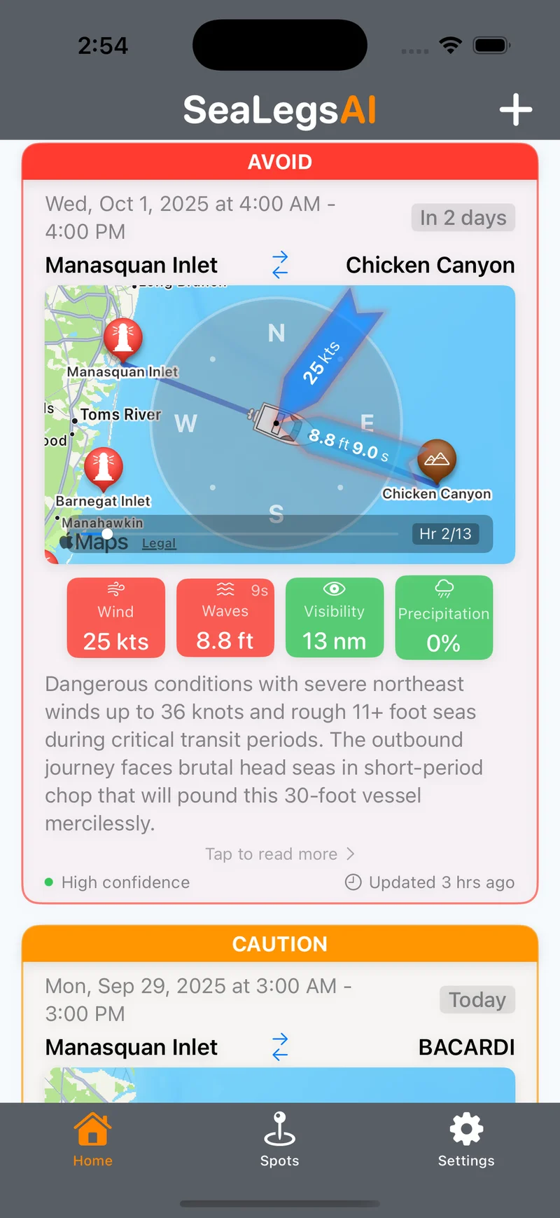
The Gulf Stream Highway: East Coast Eddy Fishing
The Gulf Stream is the dominant oceanographic feature of the US East Coast, and it generates more warm-core rings and cold-core eddies than almost any other current system on Earth. From its origins in the Caribbean and through the Straits of Florida, the Gulf Stream flows northward along the entire Eastern Seaboard, shedding massive eddies that create some of the most productive offshore fishing grounds in the world. Caribbean current interactions add even more complexity, making the East Coast eddy field a massive and dynamic system spanning thousands of miles.
East Coast eddy fishing targets the full roster of pelagic species: bluefin tuna, yellowfin tuna, bigeye tuna, blue marlin, white marlin, swordfish, mahi-mahi, and wahoo. Anglers launch from ports stretching from Miami and the Florida Keys to Hatteras, the Mid-Atlantic canyons, Montauk, and all the way to Gloucester, Massachusetts. The fishery operates year-round with seasonal peaks — giant bluefin on warm-core rings in the Northeast from summer through fall, yellowfin and marlin in the Southeast and Caribbean through winter and spring, and canyon fishing in the Mid-Atlantic from June through October.
EddyCast provides comprehensive coverage of the entire East Coast eddy field, from the Caribbean to the Gulf of Maine. Every eddy is scored for fishing potential, overlaid with real-time weather safety ratings, and accompanied by species-specific tactics and positioning guidance so you always know where to fish and when to go.
East Coast Features
Purpose-built tools for tracking Gulf Stream eddies and East Coast weather.
Gulf Stream Ring Tracking
Monitor warm-core rings and cold-core eddies as they spin off the Gulf Stream in real time. Each ring is scored for fishing potential based on thermal break strength, rotation speed, and bait concentration along the edges.
Full Coast Coverage
From the Gulf of Maine to the Florida Straits, EddyCast monitors the entire East Coast eddy field. See every active eddy from New England to the Southeast with GO, CAUTION, and AVOID weather safety ratings for each one.
Caribbean Current Integration
Track how Caribbean currents feed into the Gulf Stream system, generating eddies that influence fishing from the Bahamas to the Mid-Atlantic canyons. SST maps with thermal gradient overlays show the full picture of eddy formation and movement.
Multi-Species Optimization
Each eddy report identifies target species — bluefin, yellowfin, bigeye, marlin, swordfish, mahi, wahoo — with region-specific "Where to Fish" positioning and recommended tactics. Plus a "Best Day" pick with the safest weather window for each eddy.
EddyCast Pricing
Choose the plan that fits your fishing schedule.
- Fishing Score per eddy (/100)
- GO/CAUTION/AVOID weather rating
- SST map with thermal gradients
- Target species & tactics
- Unlimited eddy forecasts
- "Best Day" recommendations
- Per-eddy detail & coordinates
- "Where to Fish" guidance
- Priority support
- Everything in Monthly
- Save 42% vs monthly
- Multi-region access
- Regional "Top Pick" highlights
- Early feature access
East Coast EddyCast FAQ
What makes the East Coast such productive eddy fishing territory?
The Gulf Stream is one of the most powerful ocean currents on Earth, and as it flows from Florida to New England it generates more warm-core rings and cold-core eddies than almost any other current system. These eddies create temperature breaks that concentrate baitfish and attract pelagic predators like bluefin tuna, yellowfin tuna, bigeye tuna, blue marlin, and swordfish along thousands of miles of coastline.
Does East Coast coverage include the Gulf of Mexico?
Yes. EddyCast's East Coast coverage includes the Gulf Stream's influence as it enters the Gulf of Mexico via the Loop Current. You'll see eddy activity from the Caribbean through the Straits of Florida and into the northern Gulf, giving you a complete picture of how the Gulf Stream system generates eddies across the entire region.
What's the best season for East Coast eddy fishing?
The East Coast offers year-round eddy fishing with regional seasonal peaks. In the Southeast and Caribbean, eddy fishing is productive 12 months a year. The Mid-Atlantic canyon season peaks from June through October. New England's giant bluefin tuna season on warm-core rings runs from July through November. EddyCast tracks eddies across all regions so you always know where the action is.
How does EddyCast track eddies across such a large area?
EddyCast uses satellite altimetry and sea surface temperature data to monitor the entire East Coast eddy field from Maine to the Caribbean in real time. Our AI analyzes eddy formation, movement, and thermal break strength across this massive area, scoring each eddy for fishing potential and overlaying weather conditions so you can find the best opportunities no matter where you fish.
Explore Other Regions
EddyCast Overview
Learn about EddyCast AI ocean eddy forecasting for offshore fishing.
West Coast
California Current eddies for West Coast albacore, yellowfin, and dorado.
Gulf of Mexico
Track Loop Current eddies for bluefin tuna, yellowfin, and wahoo in the Gulf.
Northeast
Warm-core rings off Georges Bank targeting giant bluefin tuna.
Southeast
Gulf Stream eddies off the Carolinas, Georgia, and Florida for pelagic species.
Hawaii
Pacific eddy forecasts for Hawaiian yellowfin, bigeye, and blue marlin.
Mediterranean
Mediterranean eddy tracking for bluefin tuna and swordfish.
Australia
East Australian Current eddies for marlin, yellowfin, and southern bluefin.
South Africa
Agulhas Current eddies for yellowfin tuna, longfin tuna, and gamefish.
Get East Coast Eddy Forecasts
Be the first to access EddyCast when it launches. AI-powered eddy tracking and weather intelligence for East Coast offshore fishing.
Buy Now