Southeast US
Gulf Stream Eddies with Weather Intelligence
Track Gulf Stream features from Florida through the Carolinas and into the Bahamas. Find where warm eddies concentrate sailfish, mahi-mahi, and tuna.
Buy Now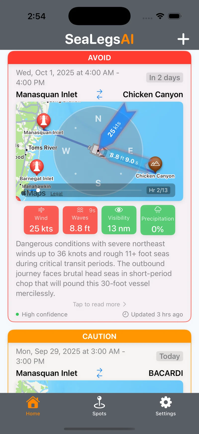
The Southeast: Where the Gulf Stream Runs Close
The Gulf Stream runs closer to shore along the Southeast US coast than anywhere else on the Atlantic seaboard. From Jupiter, Florida through Charleston, South Carolina and up to Cape Hatteras, the current hugs the continental shelf edge — often just 15 to 40 miles offshore. This proximity creates a steady supply of eddies, meanders, and thermal breaks right where anglers can reach them. The Bahamas sit on the eastern side of the Gulf Stream, adding another dimension of productive eddy fishing on both flanks of the current.
The Southeast's warm Gulf Stream waters support an exceptional diversity of pelagic species year-round. Sailfish peak from December through April, mahi-mahi run strong from May through September, and wahoo, yellowfin tuna, blue marlin, and king mackerel are available throughout the year. Key departure ports include Stuart and Jupiter in Florida, Charleston in South Carolina, Morehead City in North Carolina, and Bimini in the Bahamas. The year-round warm water means there is always something to target along eddy edges.
EddyCast tracks eddies close to shore in the Southeast, scoring each one for fishing potential and overlaying real-time weather so you know which features are fishable right now. Whether you are chasing sailfish off Stuart in January or mahi along a warm eddy edge in July, EddyCast puts the data you need in one place.
Southeast US Features
Purpose-built tools for tracking Gulf Stream eddies close to the Southeast coast.
Gulf Stream Proximity Tracking
Monitor eddies and meanders where the Gulf Stream runs just 15-40 miles offshore. EddyCast maps the current's edge and every fishable feature along the Southeast continental shelf in real time.
Bahamas Coverage
Full coverage of the Bahamas and surrounding Gulf Stream features. Track eddies on both sides of the current as it flows through the Straits of Florida and along the Bahamian banks.
Year-Round Eddy Monitoring
The Southeast's warm Gulf Stream produces fishable eddies in every season. EddyCast tracks thermal breaks, rotation speed, and bait concentration year-round so you never miss a window.
Sailfish Season Analytics
During peak sailfish season (Dec-Apr), EddyCast highlights the eddies and temperature breaks most likely to hold sails. Combined with weather ratings, you get a complete game plan for every trip.
EddyCast Pricing
Choose the plan that fits your fishing schedule.
- Fishing Score per eddy (/100)
- GO/CAUTION/AVOID weather rating
- SST map with thermal gradients
- Target species & tactics
- Unlimited eddy forecasts
- "Best Day" recommendations
- Per-eddy detail & coordinates
- "Where to Fish" guidance
- Priority support
- Everything in Monthly
- Save 42% vs monthly
- Multi-region access
- Regional "Top Pick" highlights
- Early feature access
Southeast US EddyCast FAQ
How close to shore do eddies form in the Southeast?
The Gulf Stream runs just 15-40 miles off the Florida and South Carolina coast, making it one of the closest major current systems to shore in the world. Eddies and meanders form right along the continental shelf edge, meaning shorter runs to productive water compared to most other offshore regions.
Does EddyCast coverage include the Bahamas?
Yes, EddyCast Southeast coverage includes the Bahamas and nearby Gulf Stream features. The Gulf Stream flows through the Straits of Florida between the Bahamas and the US mainland, creating eddies and temperature breaks that concentrate gamefish on both sides of the current.
What is the best time for eddy fishing in the Southeast?
The Southeast offers year-round eddy fishing thanks to the warm Gulf Stream. Sailfish season peaks from December through April, mahi-mahi run strong from May through September, and wahoo and tuna can be targeted throughout the year. The Gulf Stream's proximity to shore means fishable conditions exist in every season.
What makes Southeast eddy fishing unique?
The Southeast is unique because the Gulf Stream runs closer to shore here than anywhere else on the US East Coast. This means warm, eddy-rich water is accessible on shorter boat runs. Combined with year-round warm water temperatures and diverse species including sailfish, mahi-mahi, wahoo, and blue marlin, the Southeast offers some of the most accessible offshore eddy fishing in the country.
Explore Other Regions
EddyCast Overview
Learn about EddyCast AI ocean eddy forecasting for offshore fishing.
US East Coast
Gulf Stream warm-core rings for tuna, marlin, and mahi-mahi.
US West Coast
California Current eddies for albacore, yellowfin, and dorado.
Gulf of Mexico
Loop Current eddies for bluefin tuna, yellowfin, and wahoo.
Northeast US
Georges Bank warm-core rings for giant bluefin and bigeye tuna.
Hawaii
Island wake eddies for yellowfin, bigeye, and Pacific blue marlin.
Mediterranean
Algerian Current eddies for Atlantic bluefin tuna.
Eastern Australia
East Australian Current eddies for marlin, yellowfin, and southern bluefin.
South Africa
Agulhas Current eddies for yellowfin tuna, marlin, and swordfish.
Get Southeast Eddy Forecasts
Be the first to access EddyCast when it launches. AI-powered eddy tracking and weather intelligence for Southeast US and Bahamas offshore fishing.
Buy Now