El Niño is everywhere in the news this year, and for once the headlines aren't overselling it. On 10 September 2026, NOAA's Climate Prediction Center put the odds of a very strong El Niño this fall and winter at better than 90%, and gave a 75% chance that October–December will be stronger than any El Niño on record back to 1950. The key index for the central Pacific (Niño-3.4) was already +1.8°C and still climbing, with the far eastern Pacific off Peru and Ecuador running +3.4°C.
Most El Niño coverage is about crops, wildfires and winter snow. This guide covers the water: what a strong El Niño tends to do to ocean temperatures, storm tracks, hurricanes and fishing in the places people actually go boating.
Live sea surface temperature around North America, refreshed daily. It shows today's water temperature, not the El Niño anomaly itself.Open the full map →
What El Niño actually is (in 60 seconds)
Normally the Pacific trade winds blow east to west along the equator. They pile warm water up in the western Pacific and drag cold, nutrient-rich water up from the deep along the coast of South America. During an El Niño, those trade winds weaken or even reverse. The warm water sloshes back east toward the Americas, and the cold upwelling off South America is shut down.
That shift moves where the tropical Pacific's heat and rainfall sit, and those big thunderstorm clusters steer the jet streams. That's how a warm patch of ocean near the equator ends up changing winter storms in California, hurricane odds in the Caribbean and typhoon tracks near Japan. If you want the basics of why water temperature matters so much, start with Sea Surface Temperature Explained.
Everything below is a tendency. NOAA's own wording is that a strong event makes El Niño-like impacts "larger, though not guaranteed." El Niño loads the dice for a season. It does not tell you whether Saturday is a go. That still comes from the forecast for your spot.
US West Coast and Baja: warm water, and winter storms farther south
This is where boaters feel a strong El Niño most directly. Warm water spreads north along the coast, and warm-water fish come with it. In past strong events, Southern California anglers saw species like yellowfin tuna and wahoo well north of where they usually turn up, and the 2026 season has already produced reports of warm-water pelagics arriving early.
Winter is the other half. El Niño tends to push the Pacific storm track south, so central and Southern California get stormier, wetter winters, with more large winter swell and more gale days than usual. The Pacific Northwest has a weaker, less reliable lean toward drier weather.
Gulf of Mexico, Florida and the Southeast: a stormier winter
A strong El Niño winter is one of the most reliable signals in US climate: the Gulf Coast and Southeast run wetter and cooler than normal. The reason is a stronger subtropical jet stream that pushes storm tracks farther south, bringing more clouds, more rain and more severe weather. For boaters, that usually means more cold fronts, and more of the strong, gusty northerly winds that follow each one. Expect fewer settled small-boat days between December and March.
Atlantic hurricanes: usually quieter, never zero
El Niño increases vertical wind shear (winds changing speed and direction with height) over the Caribbean and western Atlantic, and shear tears developing storms apart. That's why El Niño seasons are often quieter in the Atlantic. With a very strong event building into the back half of the season, the odds lean toward a subdued finish.
But the Atlantic season runs through 30 November, and a quiet season still only takes one storm. Watch the tropical outlooks exactly as you would in any other year.
Eastern and central Pacific: the opposite
The same shift that quiets the Atlantic tends to favor more active hurricane seasons in the eastern and central Pacific, where warmer water and lower shear help storms form and strengthen. If you boat off Mexico's Pacific coast, Baja or Hawaii, this is the year to take the tropical outlook seriously late in the season.
West Pacific and Asia: typhoons take a different path
In the western Pacific, El Niño tends to form typhoons farther east. They then have longer tracks over open water, which gives them more time to strengthen, and they are less likely to head toward the Philippines and more likely to affect China, Japan and South Korea. Southeast Asia, meanwhile, typically turns hotter and drier.
Australia: drier and hotter in the east
El Niño typically brings drier, hotter conditions to eastern Australia, with elevated fire risk ashore. On the water, the bigger concern is heat: the warm water behind a strong El Niño raises the risk of marine heatwaves and coral bleaching. The global bleaching episodes of 1997–98 and 2015–16 both came with strong El Niños. For the named winds and systems that actually decide an Australian boating day, see our Australian marine weather guide.
New Zealand: more westerlies and southwesterlies
According to NIWA, El Niño makes westerly and southwesterly winds more common through late winter, spring and summer. That tends to mean more rain and more wind on the west coast, drier conditions in the east, and an overall cooler summer, although places like Hawke's Bay and Gisborne can still run warm. For boaters, it can mean a windier spring and summer, with more west-coast days that don't work.
Peru, Chile and Brazil: the fisheries feel it first
The eastern Pacific off Peru and Ecuador is where El Niño starts. When the cold Humboldt Current upwelling shuts down, the nutrient-rich water that feeds the world's largest fishery by volume, Peru's anchoveta, goes with it. Strong events can shrink catches dramatically and push fish into different grounds.
On the Atlantic side, El Niño tends to bring heavy rain and flood risk to southern Brazil and the La Plata basin, while northern Brazil and the Amazon run drier. For Brazil's own coastal wind and sea patterns, see our Brazilian marine weather guide.
The Mediterranean and Europe: don't plan around it
This is the honest one. El Niño's effect on Europe is weak and inconsistent. The Mediterranean is a long way from the tropical Pacific, and its wind and sea state are driven far more by local systems and patterns such as the North Atlantic Oscillation. If anyone tells you El Niño will make your Med season calm or rough, be skeptical. The named Mediterranean winds will matter far more than the Pacific.
El Niño's marine tendencies at a glance
| Region | Tendency | Watch for |
|---|---|---|
| US West Coast / Baja | Warmer water; stormier winter in the south | Warm-water pelagics farther north; winter swell |
| Gulf / Florida / Southeast | Wetter, cooler, stormier winter | Frequent fronts and post-frontal northerlies |
| Atlantic / Caribbean | More wind shear; often quieter hurricanes | The season still runs to 30 November |
| Eastern / central Pacific | More active hurricane seasons | Late-season tropical systems |
| West Pacific / Asia | Typhoons form farther east, track longer | More risk for China, Japan, Korea |
| Australia | Drier and hotter in the east | Marine heatwaves; coral bleaching |
| New Zealand | More westerlies and southwesterlies | Windier west coast; cooler summer |
| Peru / Brazil | Upwelling collapse; wet south Brazil | Fishery disruption; coastal flooding |
| Mediterranean | Weak, inconsistent signal | Local winds, not El Niño |
What it means for fishing
The simplest way to think about El Niño and fish is that the fish follow the water, and the water moves. Warm-water species push farther from the equator. The temperature breaks and current edges that concentrate bait form in different places. Spots that produced last season can be empty, while water that is normally too cold can come alive.
That makes last year's waypoints much less useful and a current picture of the water much more useful. Our ocean temperature map shows live sea surface temperature for the regions we cover, and the ocean eddy fishing guide explains how to read the breaks and eddies that hold fish. For the exact temperature windows the tuna species prefer, see Tuna Fishing and Water Temperature.
When the ocean is running well outside its normal pattern, the anglers who do well are the ones reading this week's water, not last season's log. Check where the breaks are before you burn the fuel.
El Niño changes the odds. Your forecast still makes the call.
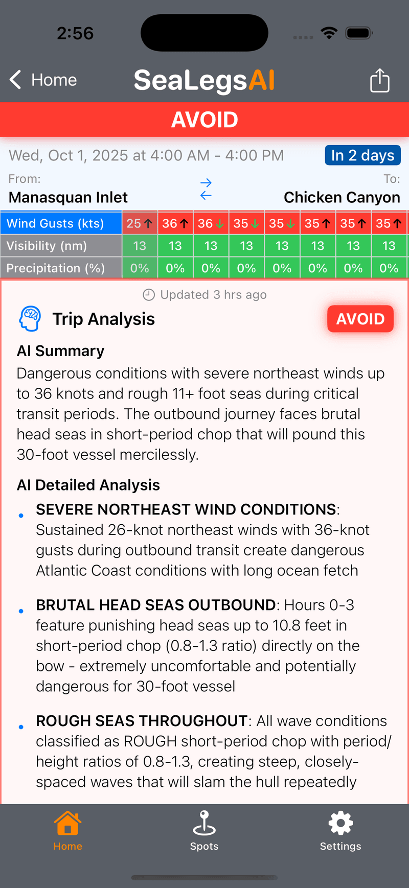
- Wind, gusts and the timing of the next front for your exact launch spot.
- Wave height and period, because a winter swell and a short, steep chop are very different days.
- A clear Go / Caution / Avoid call for the hours you'll actually be out.
When will it peak, and how long will it last?
El Niño events usually reach peak strength between November and January. In the US, most of the weather effects show up in the cold half of the year, roughly October through March. This event began in June and is expected to last into 2027. NOAA updates its outlook monthly, and the next discussion is due on 8 October 2026.
The bottom line
- A very strong, possibly record El Niño is building for 2026–27, with peak strength most likely around November–January.
- Expect warmer water along the Pacific coasts of the Americas, with warm-water fish showing up farther from the equator than usual.
- The US southern tier, from California to Florida, leans toward a stormier, wetter winter, with more fronts and more wind.
- The Atlantic tends to go quieter, and the eastern Pacific more active. Neither is a guarantee.
- Australia and New Zealand lean drier and windier respectively, and marine heatwaves are the bigger risk to reefs.
- The Mediterranean barely notices. Plan around local winds.
- El Niño changes the season's odds. The forecast for your spot and your hours is still what decides the trip.
Sources
- NOAA Climate Prediction Center, ENSO Diagnostic Discussion (10 September 2026)
- NOAA Climate.gov, United States El Niño Impacts
- NOAA AOML Hurricane Research Division FAQ
- NIWA, The impact of El Niño and La Niña on New Zealand's climate
- World Resources Institute, 2026 Super El Niño Impacts, Explained
- Carbon Brief, How the 'super El Niño' will reshape the world's weather