Ask an offshore captain how they find tuna and the answer almost always comes back to one thing: water temperature. Tuna are pelagic predators that follow bait, and bait concentrates where the ocean changes — most reliably along a temperature break, the edge where one body of water meets another that's a few degrees warmer or cooler. Find the right break and you've narrowed thousands of square miles of featureless ocean down to the few productive miles worth trolling.
But the captains who consistently find tuna aren't chasing temperature alone — they're hunting the spot where a temperature break and a water-color (chlorophyll) edge line up. Temperature shows you where the structure in the water is; color shows you where the bait is. Stack the two together and you've found the tuna. This guide covers the water temperatures each species prefers, how to read both layers, and how to combine them into a game plan before you leave the dock.
What is a temperature break?
A temperature break (also called an SST break, a thermal edge, or a temperature line) is a boundary in the ocean where sea surface temperature changes sharply over a short distance — sometimes 2–4°F over just a mile or two. It's the saltwater equivalent of a weather front.
Tuna patrol these edges for good reason. A break is where:
- Bait stacks up — plankton and forage concentrate along the seam, and everything up the food chain follows.
- Currents converge — breaks often ride the edge of a current, which traps and funnels bait.
- Water clarity changes — the temperature edge frequently lines up with a color change from clean blue to greener, nutrient-rich water.
The rule of thumb: the sharper and more defined the break, the stronger the fishing edge. A tight line where the color on an SST chart changes fast will almost always out-fish a broad, gradual gradient.
The water temperatures tuna prefer
Different tunas like different water. These are general surface-temperature ranges — they shift with region and season, and tuna will cross into other temperatures to feed — but they tell you which side of a break to focus on.
| Species | Preferred surface temp | Notes |
|---|---|---|
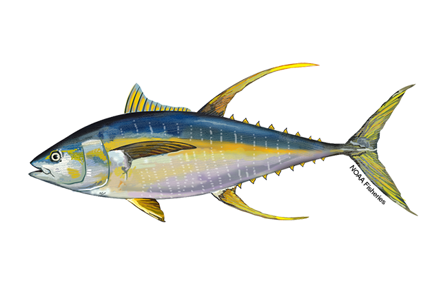
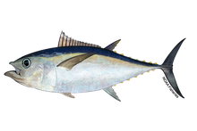
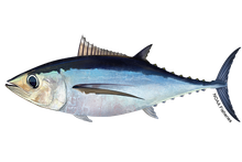
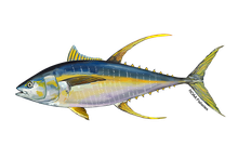 Yellowfin tuna Yellowfin tuna | ~68–82°F | Classic blue-water fish; works warm Gulf Stream edges and offshore breaks. |
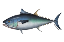 Bluefin tuna Bluefin tuna | ~50–72°F | Tolerates much cooler water than other tunas; often worked on the cooler side of a break. |
 Bigeye tuna Bigeye tuna | ~50–75°F (surface) | Relates strongly to the thermocline; often deep by day, up on edges at dawn/dusk. |
 Albacore Albacore | ~58–66°F | Cool-water "longfin"; chases temperate breaks and clean blue water. |
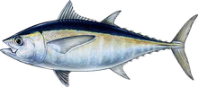 Blackfin tuna Blackfin tuna | ~70–82°F | Warm subtropical waters — Florida, the Gulf, and the Stream. |
A yellowfin won't read the chart and stop at 72°F. Use the ranges to pick which side of a break to fish — but the break itself, the bait, and the current matter as much as the absolute temperature.
How to read an SST chart to find the break
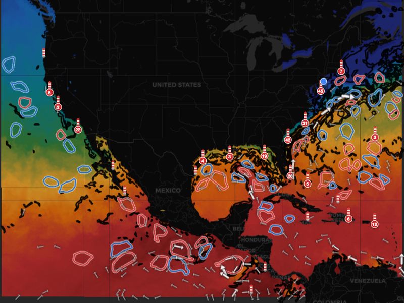
An SST chart maps sea surface temperature as color — cooler water in blues and greens, warmer water in oranges and reds. Reading it for tuna comes down to four things:
- Find the tight gradients. Where colors change fast over a short distance, the temperature break is strong. Where they fade gradually, the edge is weak. Hunt the tight transitions.
- Check the shape. Straight breaks hold fish; fingers, pockets, and meanders hold more. A warm finger pushing into cooler water (or vice versa) creates an edge with extra surface area and trapped bait.
- Line it up with structure. A break sitting over a canyon, ledge, or the shelf break is far better than the same break over flat bottom — structure adds upwelling and holds bait.
- Cross-reference water color. The strongest breaks ride a chlorophyll/color edge too — that's the other half of the picture, and it's next.
For the full primer on what SST is and how it's measured, see sea surface temperature explained.
Water color and chlorophyll: the other half of the picture
Temperature finds the edge; color tells you whether it's alive. A chlorophyll layer maps how much phytoplankton is in the water — in plain terms, where the food chain starts. High chlorophyll shows as green, nutrient-rich water; low chlorophyll is the clean, clear blue of the open ocean.
Tuna don't want the greenest water (murky, often low-oxygen, baitfish-but-not-bluewater-predator territory), and they don't want the deadest blue (gin-clear but empty). They want the seam between them — the blue-green edge, where bait holds in the greener water and gamefish ambush from the clean blue side.
That's why reading temperature and color together beats either one alone:
- A temperature break with no color change is often just a thermal line with no bait under it — fishable, but low percentage.
- A color edge with no temperature break can hold bait but lacks the current and structure that pin predators in place.
- A temperature break sitting right on a chlorophyll edge is the overlap you're hunting — bait, clean ambush water, and a current seam stacked on one line. That's where you start the day.
Don't pick the warmest water or the greenest water — pin the spot where a sharp temperature break and a clean blue-green color edge cross. That intersection, over structure, is the highest-percentage tuna water there is.
This is exactly why SeaLegs DeepCast layers SST and chlorophyll on the same map instead of leaving you to cross-reference two separate charts — the entire point is finding where the temperature and color breaks stack.
Add currents and eddies for the next layer
The best temperature breaks rarely stand alone — they ride current edges. The western wall of the Gulf Stream, the rim of a warm-core eddy that has spun off it, and current convergences all stack a temperature break, forage, and upwelling in the same place. A warm-core eddy parked over a canyon is one of the most reliable tuna setups there is.
If you fish eddies, our ocean eddy fishing guide goes deeper on how to spot and work them. The short version: when a sharp SST break, a color change, a current edge, and bottom structure all line up, you've found the spot.
Find the temperature break for your spot — before you run
SeaLegs DeepCast layers SST, chlorophyll, and currents into one map, marks the breaks and eddies, and gives an AI read on where the bait-to-tuna transition zones are — plus a clear go / no-go for the run offshore.
Check your spot free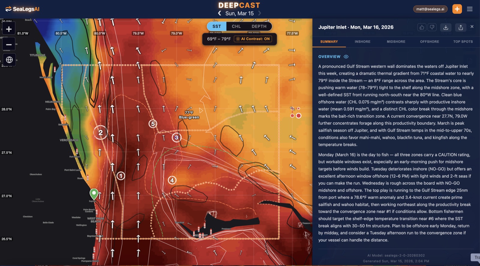
Putting it together: a tuna game plan
Before a trip, work through it in order:
- Find the strongest break within range, ideally near a canyon, ledge, or the shelf edge.
- Confirm the color. Look for the blue-green edge riding along that break — that's where the bait is.
- Check it's holding. A break that has stayed put for a few days is more trustworthy than one that appeared overnight; conditions can wash an edge out fast.
- Match the species to the side. Work the warmer side for yellowfin and blackfin, the cooler side for bluefin and albacore.
- Time it to the weather window — which is the part that gets overlooked.
Don't forget the weather window
The best temperature break in the ocean is worthless if you can't safely get to it and back. Tuna fishing is an offshore run, and offshore is where wind against current, short-period seas, and pop-up thunderstorms turn a good day dangerous. Before you commit to the run, check wind, wave height and wave period, and any active marine warnings for your waters.
That's the other half of what SeaLegs does: alongside the SST and chlorophyll map, it reads the point-specific forecast for your exact launch spot and departure time and turns it into a plain Go, Caution, or Avoid — so you can chase the break with both eyes open. See how to plan a safe offshore trip for the full pre-run checklist.
The bottom line
- Tuna hold on temperature breaks — the sharp edges where water changes a few degrees — not in uniform water.
- Match the temperature to the species: yellowfin & blackfin warm (~68–82°F), bluefin & albacore cooler (~50–72°F).
- Read temperature and color together: find a tight SST break, then line it up with the blue-green chlorophyll edge — the overlap is the spot.
- The strongest spots stack a break + bait + current + structure in one place — think Gulf Stream edges and warm-core eddies over canyons.
- Then check the weather window before you run — the break only counts if you can fish it safely.