New Jersey, USA, 7 September 2026 — SeaLegs AI has switched on full New Zealand coverage, bringing its AI-powered marine weather and fishing intelligence to boaties from the Far North to Fiordland, and out across the Chathams.
Rather than handing over another set of charts to interpret, SeaLegs AI reads the forecast and answers the question that actually matters before you leave the ramp: is today a Go, a Caution, or a No-Go — for your boat. The call is made against the vessel you actually run, with native handling for sailboats, powerboats, catamarans, sport fishers and kayaks, so a 6 m runabout and a 12 m cruising yacht get different answers from the same forecast.
Marine weather. Rather than trusting a single source, SeaLegs AI runs several global models side by side — ECMWF, GFS and others — and reads the water hour by hour across the window you actually plan to be out in: wind speed and direction, gusts as well as the sustained average, wave height and period, swell and visibility. Those details decide the day: a forecast of 15 knots means one thing if it is steady and quite another if it is gusting to 30, and a metre of swell arriving every 12 seconds is easy water where a metre every 5 seconds is a short, steep chop. The app weighs those signals against each other rather than listing them and leaving the judgement to you. Every forecast carries its own confidence rating, so a settled picture is easy to tell from one that is still moving.
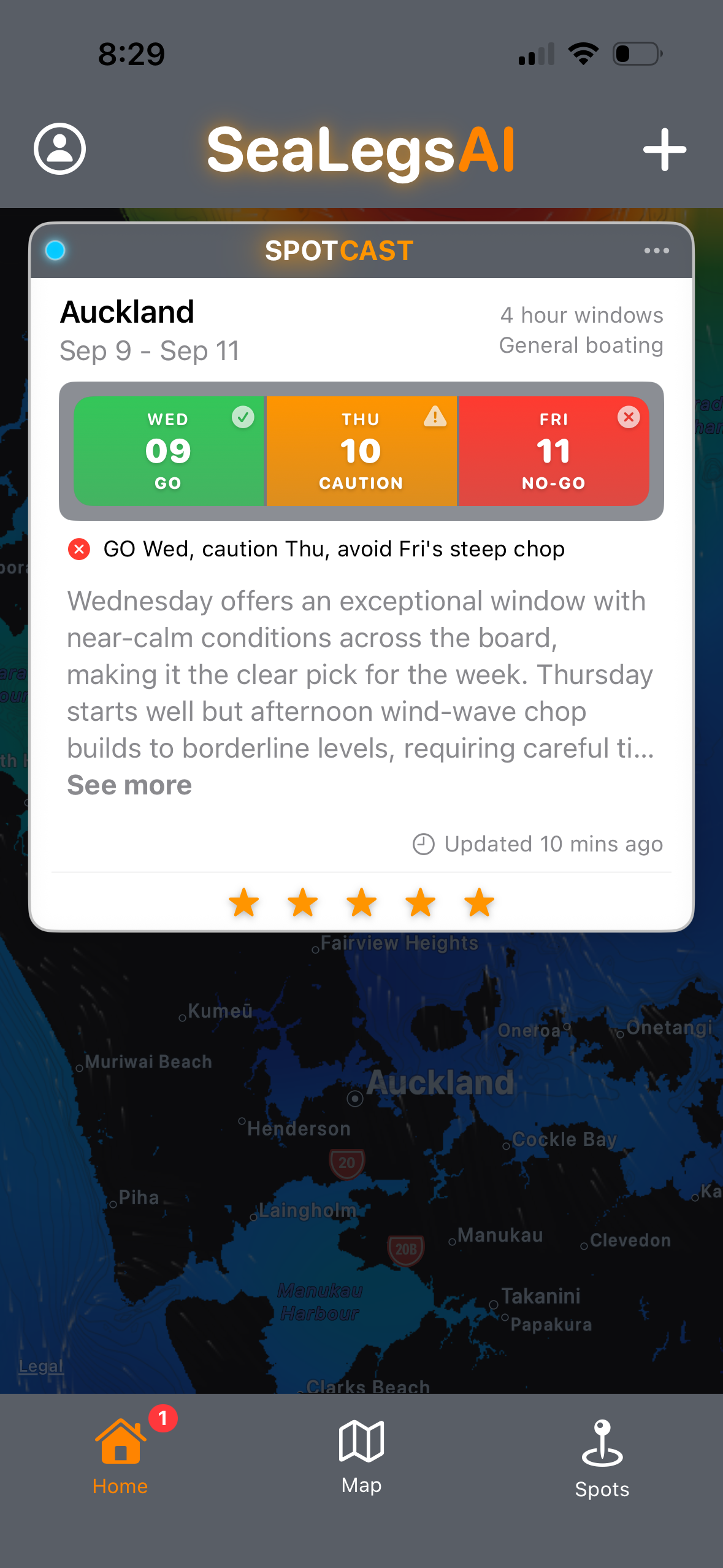
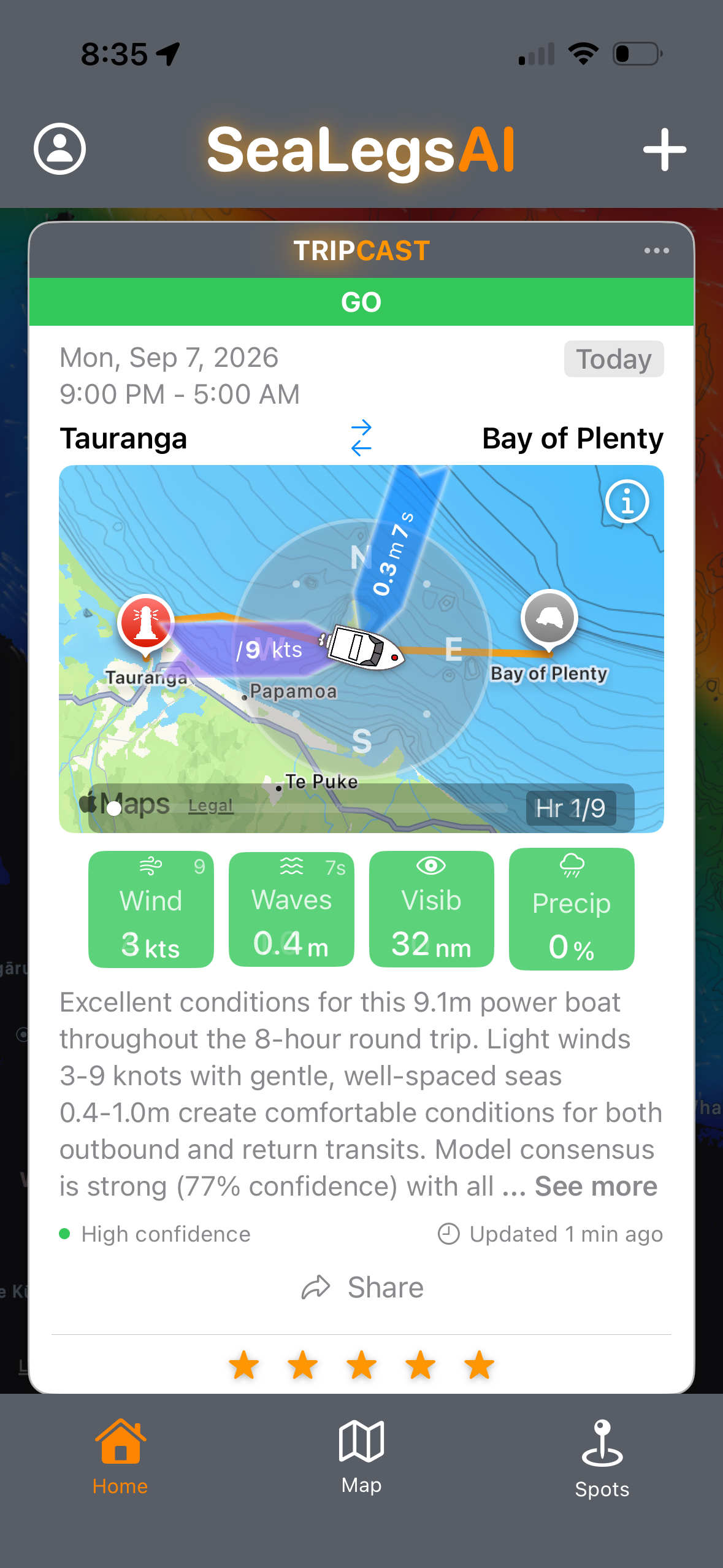
Two ways to ask. A TripCast covers one specific trip — where you are leaving from, where you are going and when — and returns a go, caution or no-go verdict tuned to your vessel. A SpotCast gives a multi-day outlook for a single piece of water: an inlet, a reef, a wreck, or the mark you always start on. Both read the same models; what changes is whether you are asking about a passage or about a place.
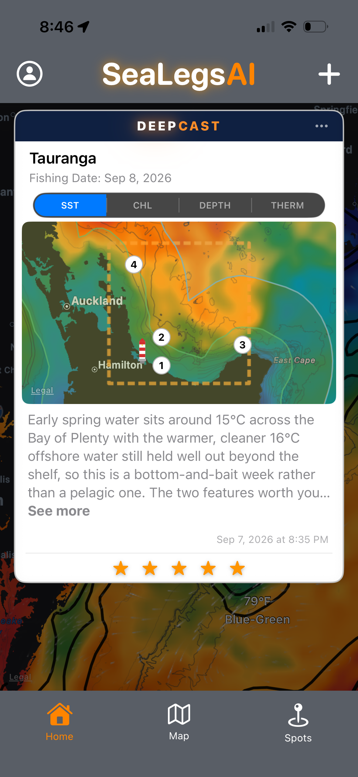
Fishing reports. DeepCast is a full ocean analysis report for a stretch of water you choose, written the way an oceanographer would brief you rather than dropped on a map as a pin. It reads sea-surface temperature, chlorophyll, sea-surface height and altimetry, currents, eddies, thermal fronts and bathymetry together, then explains what those signals mean — where a productivity break has set up, which side of an SST front is holding, how a slope eddy is tracking. From that picture it names the species worth targeting.
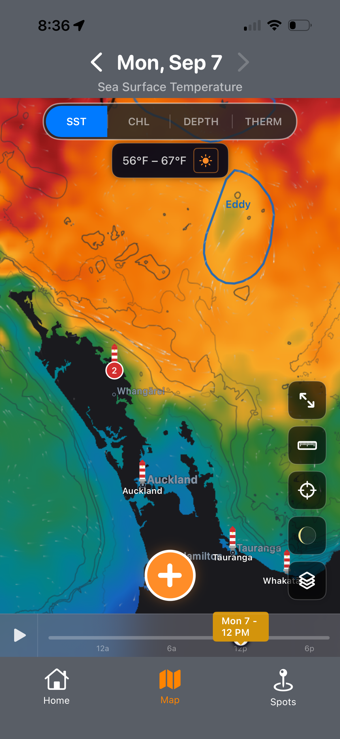
SeaLegs AI is available on the App Store and Google Play, and the interactive ocean map — sea-surface temperature, chlorophyll, depth and altimetry — along with DeepCast fishing reports can also be used on the web at www.sealegs.ai without installing anything. A free tier is available, with subscription plans and individually purchased fishing reports from NZ$9.49.
Images
Every image is available at its original 1179×2556 resolution. Images supplied by SeaLegs AI — free to reproduce with credit.
About SeaLegs AI
SeaLegs AI builds AI-powered marine intelligence for weather and fishing, turning wind, wave and ocean data into a decision a skipper can act on. It is available worldwide on the App Store, Google Play and at www.sealegs.ai.
Media contact
— ENDS —